The Georeferencing
Georeferencing the maps was done by hand, point-for-point, using the most outstanding details and landmarks. For the city of Rome, these were obelisks, triumphal arches, and the features of the Aurelian wall surrounding the city. For latium and Abruzzi, these were mostly landmarks like town centers, bridges, single towers.
All geo-referencing was done using the Open-Source QGIS modules.
The Maps of Rome
Fortunately, since the time of Nolli most maps of Rome are based on exact measurements and therefore for the most part quite easily geo-referenced. Note that we have deliberately refrained from showing the Nolli map simply because it's too easy and obvious ... instead enjoy the more uncommon maps!
To make comparisons easier, we've also put up all of the maps listed below on a big mesh-up where you can easily play with different transparency levels:
-
Pianta topografica di Roma
Roma
Direzione Generale del Censo
1829
-
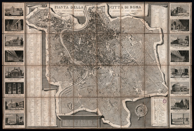
Pianta della città di Roma con la indicazione di tutte le antichità e nuovi abbellimenti
Roma
Monaldini
1832
-
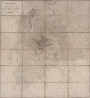
Carta topografica del suburbano di Roma desunta dalle mappe del nuovo censimento e trigonomatricamente delineata nella proporzione di 1.15000
Roma
Direzione del Censo
1839
-
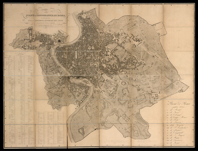
Pianta topografica di Roma
Direzione del Censo
Roma
1866
-
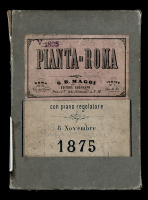

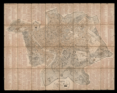
Roma e i suoi dintorni
Torino
Giovanni Battista Maggi
1875
-
Pianta della città di Roma
Roma
Spithöver
1881
-
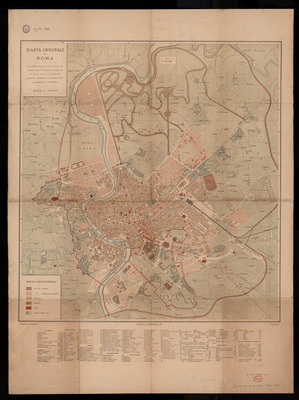
Pianta generale di Roma
R. Stab. Cart. C. Virano
1888
-
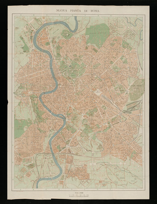
Nuovissima Pianta di Roma
con indice alfabetico di tutti i nomi e riferimento ai quadrati della pianta
Bergamo
Cartografia Istituto Italiano d'Arti Grafiche
1935
-
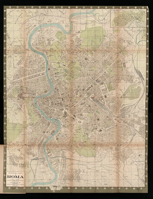
Pianta della città di Roma
Roma
Angelo Signorelli editore
1950
The Maps of Latium
The library possesses much less detailed topographic maps of Latium. Unfortunately, the Sickler plan is not based on exact measurements and therefore hard (if not impossible) to geo-reference.
-
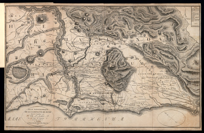
Plan topographique de la Campagne de Rome
Sickler, Friedrich
Rome
Monaldini
1832
-
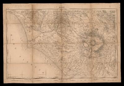
Carte de la partie sud ouest des Etats de l’Eglise
d'après la triangulation et les levés exécutés par les officiers du Corps d'Etat-Major
Paris
1854
-
Provincia di Roma
Milano
Vallardi
1872
The Maps of Abruzzi / Regno delle Due Sicilie
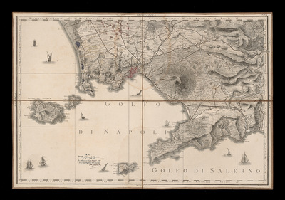
We only have a very basic collection maps of the Abruzzi region so far: the most detailed are the first four plates from the famous Ricci-Zannoni depicting the Regno di Napoli at the beginning of the 19th century. Note that one of the plates of the Ricci-Zannoni (pl.VI) is missing.
-
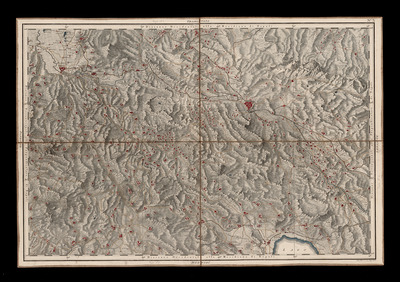
Atlante geografico del Regno di Napoli delineato per ordine di Ferdinando IV Re delle Due Sicilie
Rizzi-Zannoni, Giovanni Antonio; Guerra, Giuseppe
Napoli
1789
Zh 310-3880/1 gr raro ; Zh 310-3880/3 gr raro ; Zh 310-3880/4 gr raro ; Zh 310-3880/5 gr raro
-
Atlante geografico del Regno di Napoli delineato per ordine di Ferdinando IV Re delle Due Sicilie
Rizzi-Zannoni, Giovanni Antonio; Guerra, Giuseppe
Napoli
1789